
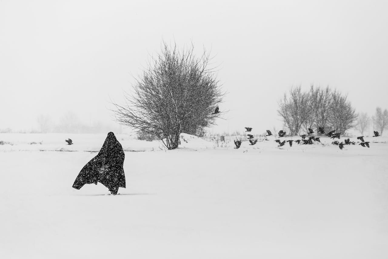
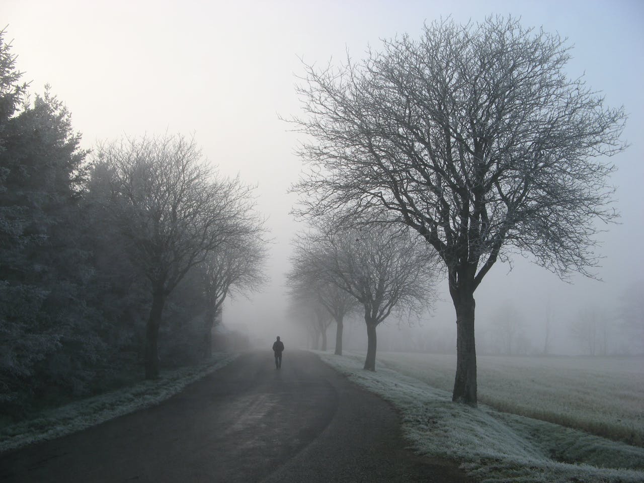
Holiday travel often runs on a fragile promise: packed cars, full flights, and the hope that everything stays calm long enough to arrive. This weekend, the calm looks uneven. Forecast signals point to unsettled weather on both coasts, while much of the country’s midsection may see easier roads and steadier skies. Rain, mountain snow, and shifting precipitation lines could still slow major corridors, especially where airports and mountain passes meet holiday crowds. Temperature swings add another layer, turning wet pavement into slick surprises and making delays feel longer. With more than 100 million people moving through the season, the smartest plans are the flexible ones, built around a few key trouble zones and a little extra time.
Friday: Two-Coast Trouble, Middle America Breathing Room

Friday sets the tone with weather headaches on both coasts and a quieter stretch in between. Travel across the country’s midsection is expected to be comparatively straightforward, but delays can build fast near the Pacific Northwest, the I-95 corridor, and around the Great Lakes. It may still be too soon to pin down exact precipitation types in every city, yet the pattern favors wet roads near the coasts and wintry conditions inland. That mix can slow highway speeds, complicate de-icing, and stretch out gate holds at hubs such as Seattle, San Francisco, New York, Boston, and Washington, D.C. Plan for stop-and-go timing.
Pacific Northwest: Atmospheric Rivers And Flood-Weary Roads

The Pacific Northwest remains the weekend’s most persistent problem area after back-to-back atmospheric river events. From central California through Washington, periods of rain and higher-elevation snow can keep highways glossy and unpredictable, while saturated ground raises the odds of localized flooding and slow detours. Mountain travel is the bigger wild card: several feet of snow are forecast in parts of the Cascades, and pass conditions can change hour by hour. Airport flow may also tighten when visibility drops and crews juggle de-icing and runway spacing. Impacts can reach the northern Rockies. Expect backups.
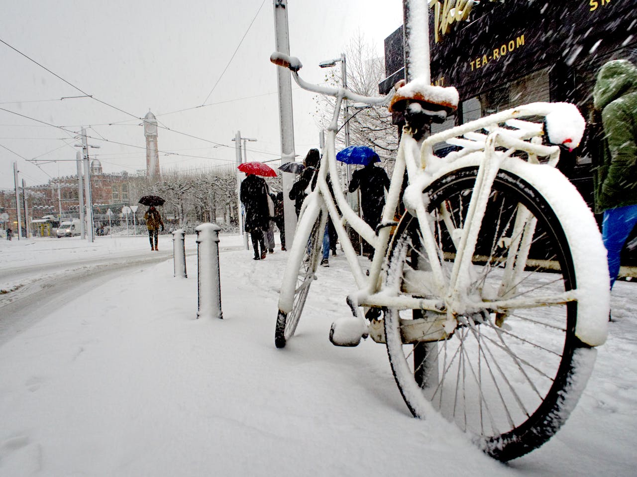
East Coast: I-95 Rain And Interior Wintry Mix

A cold front pressing across the East on Friday can keep lingering rain along the heavily traveled I-95 corridor, where spray, ponding, and low clouds tend to ripple into longer drive times and late departures. Farther inland, wintry precipitation is expected to hang on across portions of the interior Northeast, with pockets of slick travel and slower plowing cycles. Snow may also linger near the Great Lakes, raising risk in parts of upstate New York, Pennsylvania, and the northern Appalachians, with airport operations in New York and Boston among the most vulnerable. Washington, D.C., can see knock-on delays, too.
Great Lakes Belt: Lingering Snow Can Still Snarl Connectors
Even when the worst headlines sit on the coasts, lake-effect leftovers can still reshape plans around the Great Lakes. On Friday, lingering snow in the region can create sudden whiteouts, uneven road clearing, and slower truck traffic on key connectors. Upstate New York and parts of Pennsylvania are among the spots where travel can turn hazardous quickly, especially after dark. By Saturday, remaining trouble is expected to concentrate more on Michigan and northern Wisconsin, but localized bursts can still create cascading delays at smaller regional airports. It is the kind of snow that looks light, then locks up bridges.
Saturday: The Weekend’s Breather, With A Western Caveat

Saturday is expected to be the weekend’s most forgiving travel day in many places. The Eastern system should be out of the way, easing pressure on the biggest population corridor and letting airports recover some schedule rhythm. The main exceptions remain in the West, where lingering rain and mountain snow keep conditions unsettled from Washington into central California and across higher elevations. Airports tied to that corridor, including Seattle, San Francisco, and Salt Lake City, may still see periodic delays, especially when crews manage de-icing and spacing during waves of precipitation. Overall, it is the reset.
West Coast And Rockies: Pass Conditions Matter More Than Rain Totals

In the West, the details that matter most are often not the rain totals, but where the snow line sits and how quickly it drops after sunset. Lingering precipitation from Washington to central California is expected to be less intense than prior days, yet it can still keep roads slick and shoulders soft. Mountain snow is the bigger disruptor in the Cascades and parts of the Rockies, where chain requirements, closures, and slow-moving caravans can stretch a simple drive into an hours-long crawl. Route planning lives or dies on pass reports. Checks of snow and pass conditions before departure can prevent stranded stops.
Sunday: Moisture Surges Back, Rebuilding Delays
Sunday looks like a pivot point rather than a clean finish. Forecast models suggest another surge of moisture in the West, bringing more rain to areas already water-logged and another round of mountain snow for higher elevations and passes. Far from the Pacific, wintry weather may also reappear across extreme northern parts of the interior Northeast, where rain-to-snow transitions can quickly change braking distance. Airports in the western chain, including Seattle, San Francisco, and Boise, are among those most likely to feel renewed pressure as the day progresses. At the same time, showers may begin across the South.
The South To Appalachians: Gulf Moisture Adds A Slow, Wet Layer
Beyond the headline systems, Gulf moisture can quietly create its own holiday bottlenecks. On Sunday, that moisture may enhance rainfall from the Gulf Coast into the Appalachians, turning interstates into long ribbons of spray and reduced visibility. It does not have to be a major storm to slow arrivals; steady showers are enough to lengthen stopping distance, trigger more minor crashes, and tighten air-traffic spacing. By Monday, the wet pattern is expected to persist across parts of the South, reinforcing the need for wider timing buffers in hubs that connect the region to the rest of the country. Watch Nashville.
Monday: Rinse And Repeat With New Upper Midwest Cold
Monday is expected to echo Sunday, with rain and snow continuing in the West, ongoing showers across parts of the South, and more snow starting to creep into the Upper Midwest. The West remains delay-prone around Seattle and Portland as crews manage wet runways and repeated de-icing cycles in higher elevations, while mountain travel stays treacherous in the Cascades and northern Rockies. Across the South, showers may stretch from Houston to Lexington, nudging congestion along routes such as I-55, I-65, and I-20. Airports including Seattle, Portland, Jackson, and Nashville sit in the overlap zone. Expect rolling backups.