
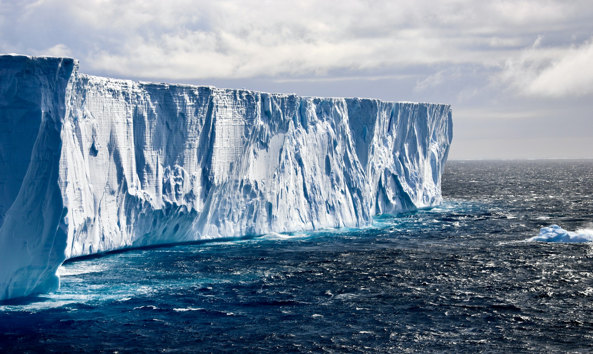
Antarctica works like a frozen archive. Snowfall piles up, compresses into ice, and traps tiny bubbles of ancient air along with chemical traces that reflect the world above. When scientists drill and pull out long cylinders of ice, they can measure those signals and rebuild a timeline of past temperatures and atmosphere.
But the real prize is not just old ice, it is readable ice. The layers must stay in order, with younger ice sitting cleanly above older layers, like pages in a book. If the deepest ice has been melted, folded, or churned, the story turns into scattered fragments. New radar mapping in East Antarctica shows that the base of the ice sheet can be far more active than it looks from the surface.
Why Ice Cores Need an Unbroken Timeline
Ice cores are one of the few climate tools that preserve the atmosphere itself. Dust, salts, and isotopes track shifts in winds, ocean patterns, and temperature. The air bubbles lock in past greenhouse gas levels, so changes in carbon dioxide and methane can be compared directly with climate swings. That is why a single well-preserved core can anchor entire climate histories.
Continuity is the weak link. Deep pressure thins layers until they become hard to separate, and slow ice flow can bend them out of shape. The oldest ice sits closest to the bed, right where melting is most likely to happen. Even small pockets of basal melt can erase the very layers scientists are chasing. A deep hole is meaningless if the timeline breaks at the bottom.
The 800,000 Year Limit and the Radar Surprise
For a long time, the oldest continuous Antarctic cores reached back roughly 800,000 years. That span brushes up against a major shift in Earth’s ice-age rhythm, which makes it a frustrating stopping point. Past that boundary, many of the biggest questions start to sharpen. If older layers exist, they often do not survive in a clean, continuous stack.
The bed is where the record gets rewritten. Heat and deformation can blur layers until they stop behaving like a timeline.
To push beyond that limit, the Center for Oldest Ice Exploration formed to scout the best drilling targets. A University of Texas at Austin team used airborne radar to survey remote regions near the South Pole and map ice structure that had not been studied in detail before.
The radar pointed to a deep layer known as the basal unit inside a broad depression called the South Pole Basin. The patterns suggest this ice moved slowly over immense time, descending from a buried mountain range while picking up small amounts of sediment. As the base of the ice melted bit by bit, that material was dropped into the basin. The result looks like a subglacial sedimentary environment built without the usual river-and-erosion machinery.
Heat Beneath the Ice Is the Hidden Problem

The sediment-rich zones appear tied to elevated geothermal heat. That extra heat can melt ice at the base, change how the ice sheet slides, and help create liquid water pockets beneath the surface. For climate science, that matters because basal melting does not just move ice around. It can quietly delete the oldest layers first.
At the same time, the maps help narrow the search. Areas upstream of a melt zone may stay cold enough that older layers remain intact, protected by the flow pattern and local thermal balance. The South Pole Basin itself may not be the best vault for the oldest continuous ice, but nearby terrain can still be promising. Future surveys are planned for other regions, including places where ice older than five million years has already been identified.
A Basement Made of Sediment, Built Without Rivers
What makes the basal unit intriguing is how it seems to manufacture landscape under pressure and darkness. Sediment does not need open water or exposed rock to move and pile up down there. It can hitch a ride within the lowest ice, then be released where melting happens at the bed. Over time, that turns the underside of the ice sheet into a slow conveyor that builds deposits in specific basins.
Scientists estimate this buildup has played out over roughly 14 to 30 million years. That is long enough for small inputs to become real geography.
Those deposits also change the physics. Sediment can alter friction at the bed, affect how meltwater spreads, and influence where the ice grips versus where it slides. Heat does not behave the same way across every material, so the thermal map becomes patchy. That patchiness is exactly what can either preserve ancient layers or wipe them out.
For drilling, it is a double message. Sediment and heat can signal danger for continuity, but they also point to boundaries where preservation may improve. If a team can find cold, stable ice just upstream of a warm patch, the deepest layers may survive in better condition. The trick is proving that before anyone commits to a years-long drilling campaign.
What Airborne Radar Actually Adds
Airborne radar does not pull ice out of the ground, but it can reveal how the ice is organized before the first drill bit turns. It maps internal layering, highlights folds and disruptions, and shows the shape of the bed beneath kilometers of ice. That matters because the best oldest-ice targets tend to share a profile: thick ice, slow movement, and a cold base. Radar lets teams search for that profile over huge areas instead of guessing from the surface.
It also flags hidden deal-breakers early. Signs of basal melting, warped layers, or unusual basal units can steer planners away from a tempting site. In practice, radar turns site selection into a screening process instead of a gamble. That saves time, money, and scientific opportunity.
Picking a Drill Site Is Now a Heat Budget Problem
Finding very old ice is less about a single deep spot and more about balancing heat. The base must be cold enough to avoid melting, yet the ice must still be thick enough to hold a long record. Ice thickness, surface temperature, flow speed, and geothermal heat all interact. A small change in any one can shift the whole outcome at the bed.
That is why the new maps matter even when they look like bad news. They add constraints that models can actually use, especially around where heat concentrates. The best site may end up being a compromise that looks less dramatic on paper but preserves continuity. In Antarctica, stability often beats extremes.
What a Longer Ice Record Could Settle
The reason scientists care so much about pushing beyond 800,000 years is not curiosity for its own sake. That interval sits near a major transition in glacial cycles, when the pacing of ice ages changed. A longer, continuous record could help test why that shift happened and how greenhouse gases and oceans interacted with it. Without older ice, those explanations lean more heavily on indirect clues.
Extending the record toward multi-million-year timescales would also sharpen the baseline for comparison. It could reveal how carbon dioxide and temperature tracked each other across different climate regimes. It could show whether today’s patterns have any true natural analog at all. Those are not abstract questions when policy and risk models depend on how climate sensitivity is estimated.
The hidden problem beneath Antarctica is that the archive is not uniformly safe. Heat, sediments, and water can reorganize the bottom layers in ways that look invisible from above. The upside is that the same discoveries improve the search strategy by highlighting where the ice is likely damaged and where it might be protected. The next phase is not just drilling deeper, but drilling smarter.
