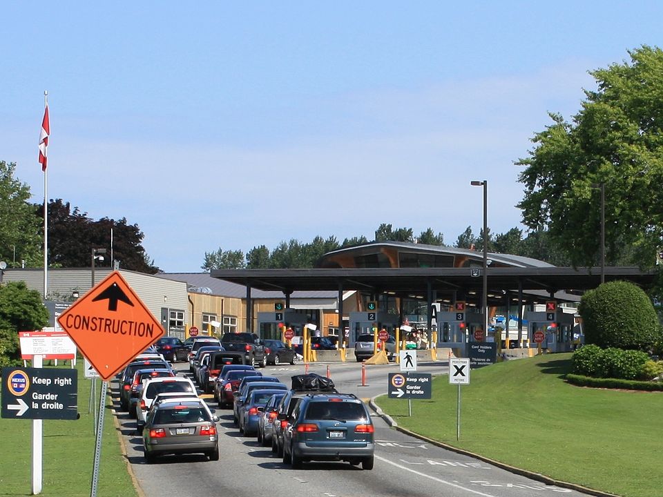
Crossing into Canada can feel effortless on a highway, yet it turns tricky in remote border country where lakes and islands blur the line.
Canada’s Remote Area Border Crossing program is being replaced with telephone reporting in Sept. 2026, ending a permit shortcut used on specific remote corridors in northern Ontario and from the Northwest Angle into southern Manitoba. After the change, entry still happens, but the rhythm shifts: reporting becomes part of route planning, not an afterthought, and groups start caring about signal, daylight, and backup options as much as weather. The calm trips are the ones that plan early. And stay flexible.
RABC Applications Are Closed

RABC permits once let preapproved travelers enter Canada at certain remote points without driving to a staffed port. CBSA has stopped accepting new applications, so newcomers cannot use the old pathway at all.
That simple change reshapes planning right away. Mixed groups now split into permit holders who can use their cards until the cutoff, and everyone else who must build routes around reporting. It is less about paperwork and more about timing: the border step moves from before the trip to the middle of it, often on a shoreline with limited signal. Outfitters and resorts are already rewriting trip checklists to match. The shift feels real
A Hard Cutoff Arrives On Sept. 13, 2026

CBSA set a firm end time for existing permits: 11:59 p.m. on Sept. 13, 2026. After that minute, a valid card stops functioning as a remote-entry shortcut, even for people who used it for years.
The hard part is how easily remote trips drift across dates. A late launch, a weather delay, or a slow tow can move an itinerary past the line. Once the permit expires, travelers entering through covered remote areas must report in person at a port of entry or use a designated telephone reporting site. Trip leaders now treat the calendar like another safety factor, and they leave extra time. A quiet border day depends on that cushion. No guessing now!
Telephone Reporting Becomes The New Default

Starting Sept. 14, 2026, CBSA replaces the permit system with telephone reporting for the remote areas that used to rely on RABC. The idea is straightforward: every entry gets reported, not just the ones that happen near a booth.
In practice, the new step lands in the middle of trips. Someone has to stop, find the designated reporting spot, place the call, and share the right details while gear is still wet and daylight is fading. The smoothest groups decide in advance who handles documents, who calls, and what the fallback is if service is weak. CBSA is also adding new reporting site locations, so maps will matter more than habits. Each run
The Change Applies To Named Remote Corridors

This shutdown does not rewrite the whole border. It targets specific remote zones where RABC permits once substituted for face-to-face reporting, which is why some travelers will feel no difference and others will feel it immediately.
CBSA’s consultation materials point to the Northwest Angle area, Pigeon River through Lake of the Woods, the Canadian shore of Lake Superior, the Sault Ste. Marie upper lock system, and Cockburn Island. When a route touches one of these corridors, reporting is no longer optional. A simple day trip now needs a compliance plan. The focus is northern Ontario and crossings from the Angle into southern Manitoba. now
A Public Consultation Runs Into Feb. 13, 2026

CBSA opened a public consultation on Jan. 26, 2026, asking for feedback on where new telephone reporting sites should be placed. The window closes Feb. 13, 2026, which signals the network is still being designed while travelers are still booking seasons.
That matters because placement decides everything in remote country. A site near a safe dock feels workable; a site that requires a long detour feels like a tax on the trip. Until final locations and signage are in place, experienced travelers assume extra friction, carry printed notes, and plan for delays instead of hoping the shoreline cooperates. The map is still moving. Plans must adapt.
Paddling Routes Lose A Quiet Shortcut

Border-lake paddling has always been about details: permits, portages, weather windows, and food packs that stay dry. RABC added one more detail, but it lived in the background once the permit was approved.
With new permits closed and the program replaced in Sept. 2026, reporting moves back into trip flow. Outfitter briefings will increasingly include where a group can legally report, how long the detour might take, and what happens if wind prevents a landing. The strongest itineraries build slack time so compliance does not compete with safety on the same hour. The shift is most felt on remote northern Ontario entry corridors. It adds steps
Northwest Angle And Lake Of The Woods Feel It First
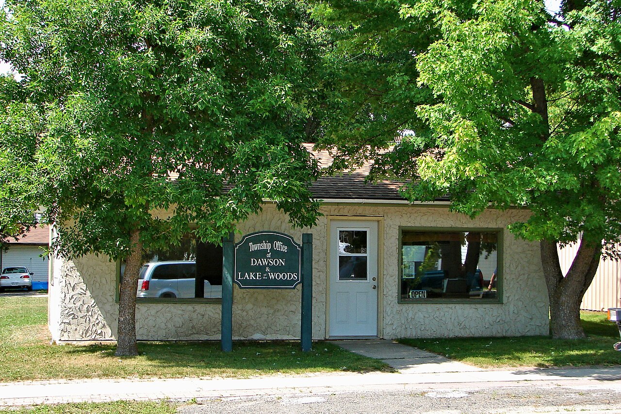
The Northwest Angle exists because geography is messy, and boat travel around Lake of the Woods makes the border feel like a line drawn across water. RABC helped regular visitors handle remote entry without constant in-person reporting.
CBSA lists the Northwest Angle area and the Pigeon River through Lake of the Woods corridor as part of the transition. After Sept. 14, 2026, reporting at a port of entry or a designated telephone site becomes the price of entry. Local routines can still work, but only if trips start with documents ready and a clear plan for where the call happens. Spontaneity shrinks, but access remains. Planning fills gaps!.
Lake Superior, Sault Locks, And Cockburn Island Shift

Some of the most affected travel is not road travel at all. CBSA’s remote-area list includes the Canadian shore of Lake Superior, the Sault Ste. Marie upper lock system, and Cockburn Island, places where entry can happen by boat and feel informal.
Under the new approach, the border step becomes explicit. Boaters must route through a port of entry or a designated telephone reporting site after Sept. 14, 2026, and that can shape departure times, fuel plans, and where a group decides to overnight. The change does not cancel the trip. It just removes the illusion that remote water is outside the system. Clarity replaces casual habits. More steps