Models that simulate strikes on missile fields paint a blunt picture. Distance and wind can soften fallout, but guarantees do not exist. Even so, some places often land in lower exposure bands during the first four days, which buys time for sheltering and organized response. Coastal airflow, mountains, and geography all matter, as do target choices and the day’s weather. What this really means is that risk is uneven, preparedness is practical, and calm planning beats speculation when every hour counts.
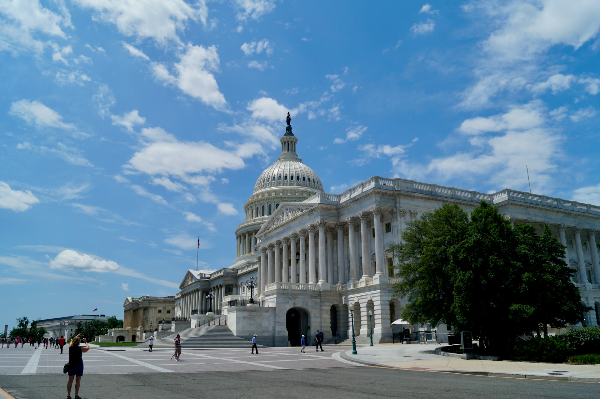
Maine
Maine tends to appear in lower exposure bands when models focus on strikes against Plains silos. Distance does the heavy lifting, and Atlantic airflow often nudges particulate plumes away or dilutes them before arrival. The population is more dispersed than in dense metro regions, which eases evacuation routes and shelter demand. Ports and defense sites exist, but for silo driven fallout in the first four days, the state’s position usually buys time for measured, local response.
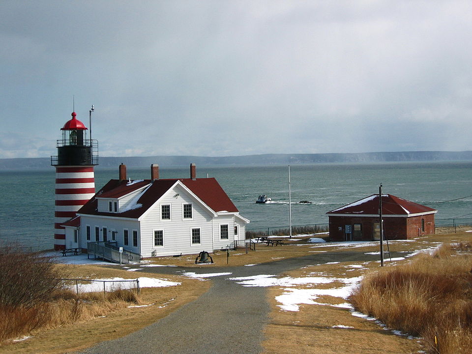
New Hampshire

New Hampshire benefits from coastal weather patterns without sitting directly on the shoreline, a small geographic gift in many simulations. Prevailing winds push the worst plumes eastward from the Plains rather than back toward New England. The state’s mountain spine adds little direct protection, yet it correlates with lower strategic value and fewer obvious first tier targets. In early post strike intervals, modeled doses often remain survivable with sturdy shelter and clear communication.
Vermont

Vermont sits inland but still fares well when winds carry particulate east from the Plains and then offshore. Distance from silo clusters limits immediate dose rates, while the state’s scale and smaller cities support faster local coordination. Farms and forests do not block radiation, yet they signal lower target density that shapes likely blast priorities. Across many day by day runs, early exposure windows remain comparatively modest, leaving room for sheltering and supply staging.
Rhode Island

Rhode Island’s size can mislead. It is compact, yes, but position matters more than breadth in fallout math. In many model runs, doses remain near the lower bands across the first four days after Plains strikes. Maritime airflow and distance help, as does the ability to move quickly within a small footprint. Strategic facilities change targeting assumptions, but for purely silo centered fallout, the state regularly gains a short window to organize care, shelter, and transport.
Washington
Washington often lands in the less affected category when scenarios center on interior missile fields. The Pacific acts like a giant conveyor that pulls weather west to east, keeping most particulate drift headed away. Naval assets complicate strategy, yet strictly on fallout drifting from the Plains, modeled doses cluster at very low levels in four day snapshots. That early cushion supports measured sheltering, medical triage, and a calmer logistics rhythm across large regions.
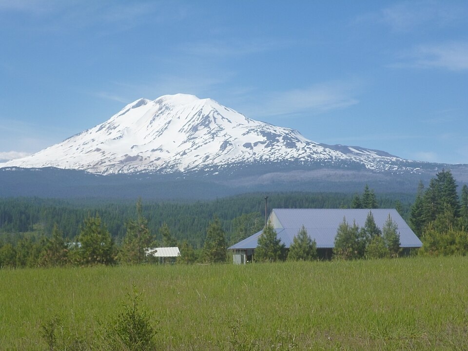
Oregon

Oregon shares many of Washington’s advantages. Coastal position, mountain barriers, and steady west to east flow combine to keep short term dose estimates small in numerous simulations. Portland and the I 5 corridor still demand planning, but the broader radiation picture after Plains strikes is often manageable in the first days. Geography does not remove risk, it simply stretches the timeline, creating space for accurate briefs, sound shelter choices, and targeted assistance.
California

California is large and varied, which forces nuance. Even so, statewide averages in silo focused scenarios often fall in low exposure bands through the early four day window. Pacific weather tends to disperse and redirect drifting particulates before they reach inland valleys in force. Dense metros and strategic sites raise separate questions, but when the comparison is limited to fallout from the Midwest, much of California gains valuable hours for sheltering and medical staging.
Alabama

Alabama sits far from the Plains and usually outside major downwind corridors tied to those strikes. Worst case runs still place many communities below lethal thresholds, with doses that are survivable under sturdy shelter. Rural areas and medium sized cities simplify traffic patterns, while regional warehouses and road networks support rapid supply movement. The headline is time. In the critical first days, Alabama often has enough of it to organize care and reduce secondary harm.
Mississippi
Mississippi trends similarly to Alabama in silo driven scenarios. Distance and typical wind paths dampen the early dose profile across much of the state. The Gulf adds moisture and variable weather that can dilute and redirect plumes. Hospitals and highways are not infinite, but coordinated use buys meaningful gains in survivability. With basic sheltering, water protection, and steady public messaging, modeled outcomes in the first four days often remain within manageable ranges.