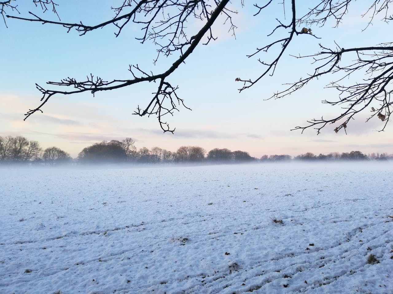
Across the Midwest and Northeast, the first real snowfall arrives as a clear turning point. Golden fields, bare trees, and late football nights shift under a quick punch of Arctic air riding over warm lakes. Light coatings stretch across the Plains while lake-effect bands carve deep, stubborn walls of snow near the Great Lakes. Streets, farms, and skylines wake to a sharper quiet that is both inviting and uneasy, a straight reminder of how fast November hands the keys to winter.
Early Flakes Sweep The Northern Plains
A compact low sweeps from the Dakotas into Minnesota and Iowa, switching drizzle to fat flakes as colder air undercuts lingering warmth. One to several inches collect on fields, parked cars, and overpasses, enough to hide lane markings and stall a few unprepared drivers. Plow crews shake off rust, schools monitor timing, and everyone is reminded that the first minor event is rarely historic, but it always resets instincts and expectations. It is measured, manageable, and impossible to ignore.
Great Lakes Shores Wake To White
Along Lake Superior and Lake Michigan, cold northwest flow over mild open water sparks persistent bands that paint shoreline towns white. The Upper Peninsula logs some of the earliest hefty totals, frosting pines, fishing piers, and quiet main streets in several inches of dense snow. Local crews treat it less as a surprise and more as an annual systems check, proving routes, equipment, and patience before holiday traffic and deeper winter storms arrive.
Lake-Effect Bands Lock In Over Lake Michigan
Over Lake Michigan, narrow lake-effect corridors lock in and refuse to budge, dropping intense squalls on slices of northwest Indiana and western Michigan. Neighborhoods separated by a few miles see wildly different realities, from damp sidewalks to half-buried cars. Meteorologists highlight how subtle wind shifts decide who is hit hardest, while forecasters stress that this kind of focused event is less spectacle and more real-time lab for understanding early season lake dynamics.
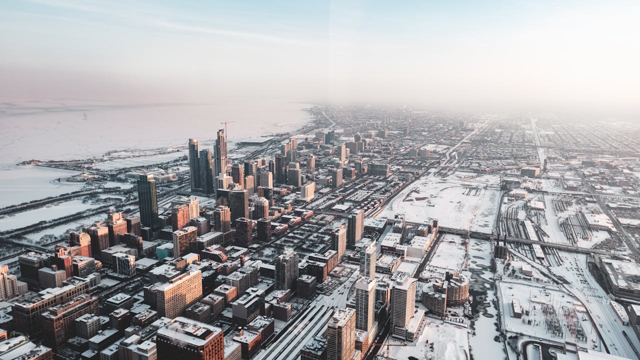
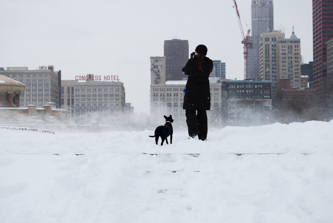
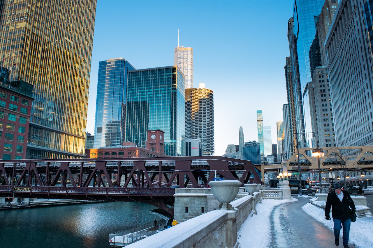
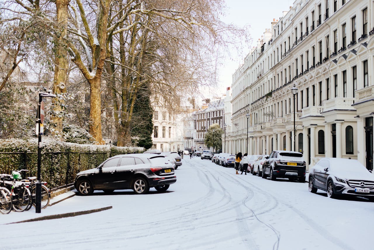
Chicago Faces High-Impact November Snow
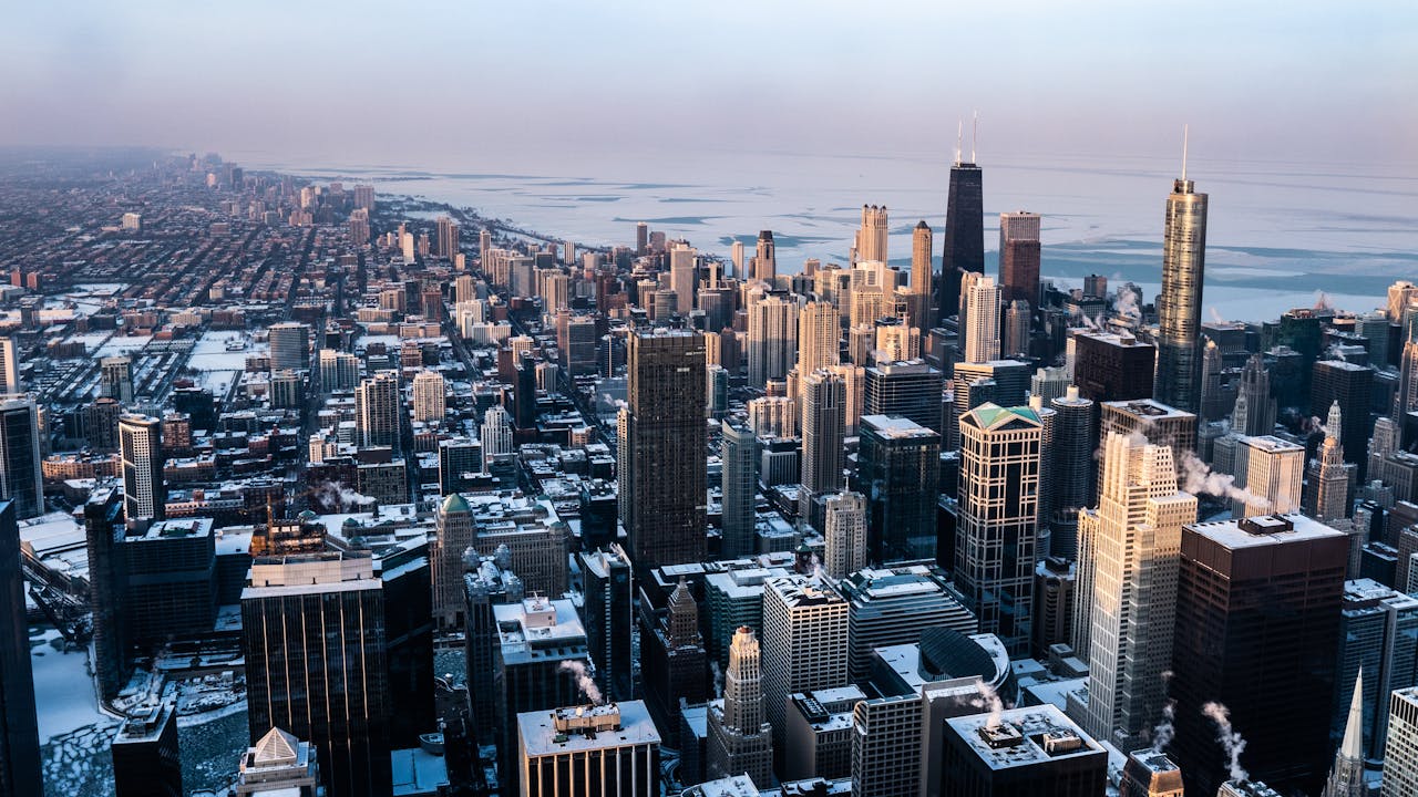
Chicago’s November winter storm warning signals how sharply the pattern has flipped. Heavy bands hug the shoreline, building quick accumulations in parts of Cook County while outer suburbs sit under lighter showers. Gusts funnel between towers, cutting visibility along the lakefront and around key interchanges as elevated tracks and bridges ice first. City agencies lean on past playbooks, but the timeline is tight, so communication, timing, and clear decisions matter more than theatrics.
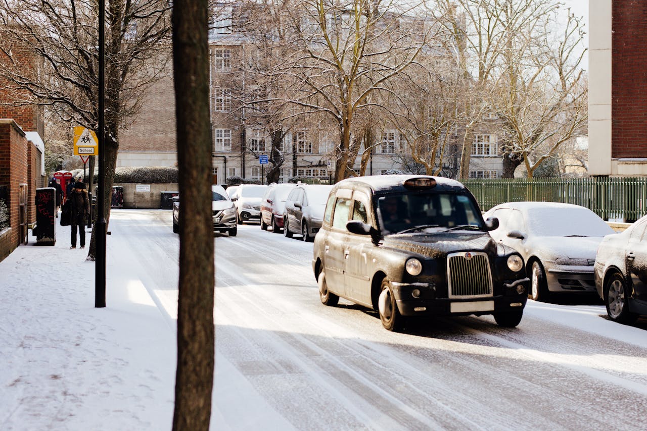
Travel Turns Treacherous On Key Corridors
I-94 and companion routes become the clearest test of how ready drivers are for winter. Conditions flip quickly from wet pavement to slush, then to bursts of white that erase lines and brake lights. Troopers, tow operators, and plows cycle nonstop through trouble spots, especially near lake-exposed stretches and ramps. Officials repeat the simple advice: slow down, leave room, and treat the first storm with more respect than memory alone usually provides.
Light Dustings Mark A Gentle Start Elsewhere
Away from core snowbelts, many towns in the central Plains and lower Great Lakes wake to a light dusting on lawns, roofs, and playgrounds. Roads stay mostly wet by day as warmer ground pushes back, then turn slick in spots after dark when temperatures dip and bridges cool fastest. It feels like a gentle rehearsal instead of a headline, but it quietly marks the moment when scraping windshields becomes part of the morning routine again. That small shift matters.
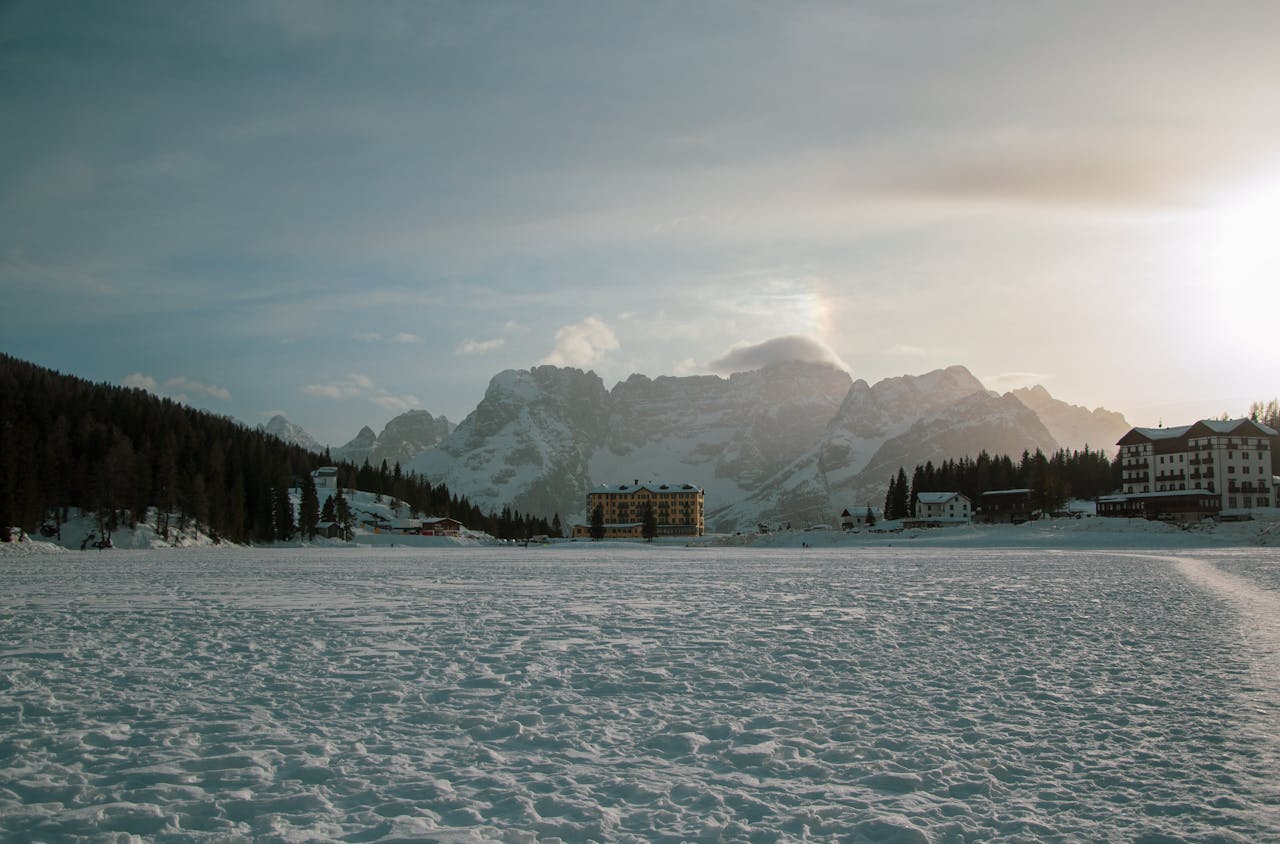
Adirondacks And Northern New England Join In
Eastward, wraparound moisture and upslope lift push the first meaningful flakes into the Adirondacks, Green and White Mountains, and higher terrain of northern New England. Ridge tops and ski slopes turn white while many valleys hold onto chilly rain, underscoring how elevation draws the first firm line of winter. Resorts test guns and lifts, road crews flag familiar drifts, and mountain towns sense how one modest system can reset early season momentum.
Coldest Air Of The Season Drops South

Behind the snow, Arctic sourced air spreads south and east, driving temperatures 10 to 20 degrees below recent norms across wide swaths of the Midwest and Northeast. The drop ends lingering garden seasons, kicks on furnaces, and sharpens wind chills along open fields and lakefronts. Climatologists watch how this early pulse lines up with La Niña expectations, reading it as one of the first data points in a longer seasonal story. It is not definitive, but it is instructive.
Communities Shift From Autumn To Winter Overnight
Over a single weekend, communities pivot from late autumn habits to winter reflexes. Hardware stores move shovels forward, cities adjust staffing, and school districts revisit bus routes on rural hills and narrow side streets. Small businesses lean into warm light, hot drinks, and safe entrances as sidewalks turn slick. The snow softens traffic noise, brightens evenings, and links farms, suburbs, and skylines under the same pale, reflective calm.
What This First Snow Signals For The Months Ahead
Climatology places first measurable snow in November for many of these locations, so this event lands close to expectation even with local quirks. What stands out is the strength of lake-effect bands and the sharpness of the cold, consistent with a pattern that can flip fast and hit selective corridors hard. Forecasters, city planners, and residents treat it less as drama and more as a clear, early briefing on the winter now underway. The signal is subtle, but it is there.