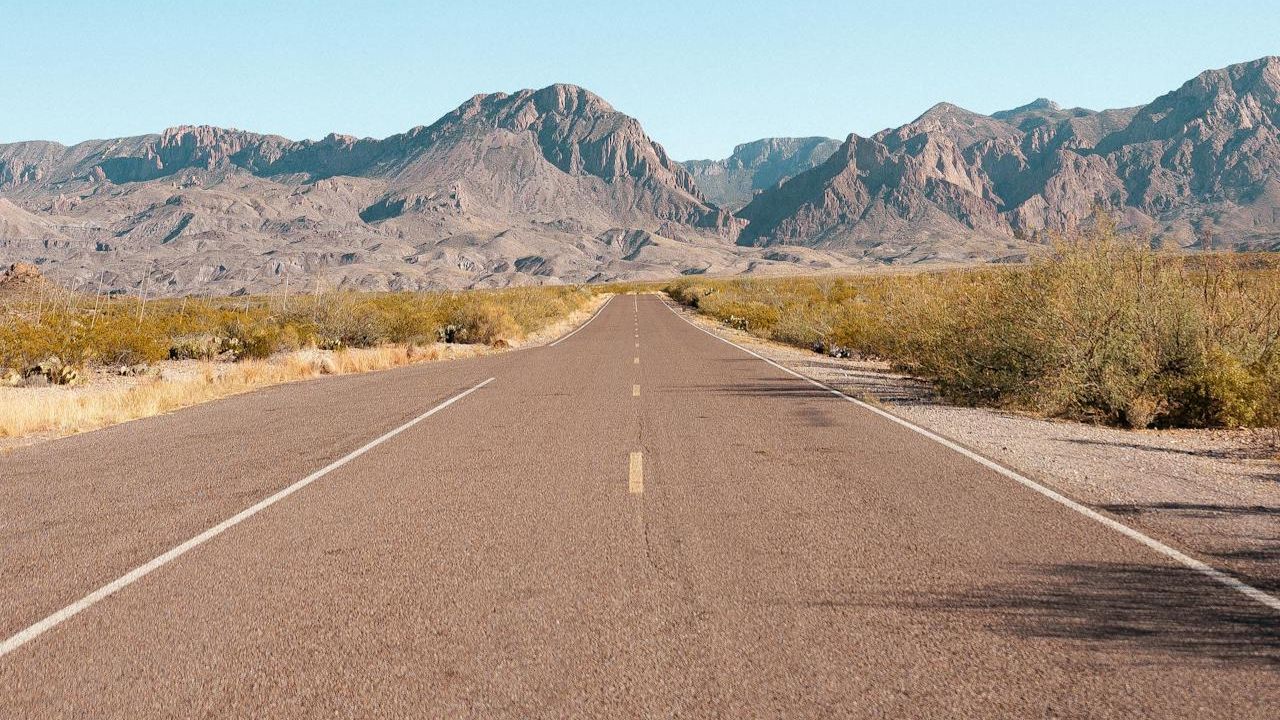
America hides stunning drives beyond the famous routes. These nine byways deliver big scenery with lighter traffic and real road trip facts. Expect mountain summits, prairie horizons, and coastal wildlife from Louisiana to Michigan. Many are official National Scenic Byways or All-American Roads, which means standout views and cultural stops. Check seasonal closures, fuel up early, and download maps in case service drops. Bring layers for elevation swings and plan pullouts for photos so you can enjoy every mile safely.
1. Talimena National Scenic Byway – OK and AR
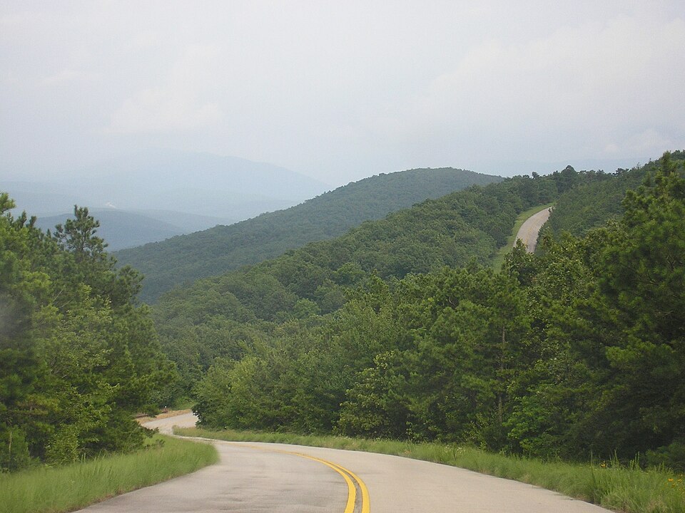
A ridge ride across the Ouachitas, Talimena stretches about 54 miles between Talihina and Mena. The route crests Rich Mountain and Winding Stair Mountain, with overlooks above 2,600 feet. Fall color draws photographers, yet spring wildflowers and long blue ridgelines are equally strong. Expect sweeping curves, picnic pullouts, and historic CCC sites. Watch for deer at dusk and occasional fog after rain. Small towns on both ends make easy fuel and snack stops before you jog back to the hills for sunset.
2. Flint Hills National Scenic Byway – Kansas

This 47-mile drive on K 177 rolls through one of the last large tallgrass prairies on Earth. Less than 4 percent of the original 170 million-acre tallgrass ecosystem remains, and this corridor protects it. Early summer brings waist-high bluestem and nights filled with lightning bugs. Spring prescribed burns blacken hillsides, then neon green returns within days. Bison roam near the preserve and historic ranch buildings dot the route. Shoulder parking is limited, so use designated pullouts for photos and short walks.
3. Creole Nature Trail All-American Road – Louisiana
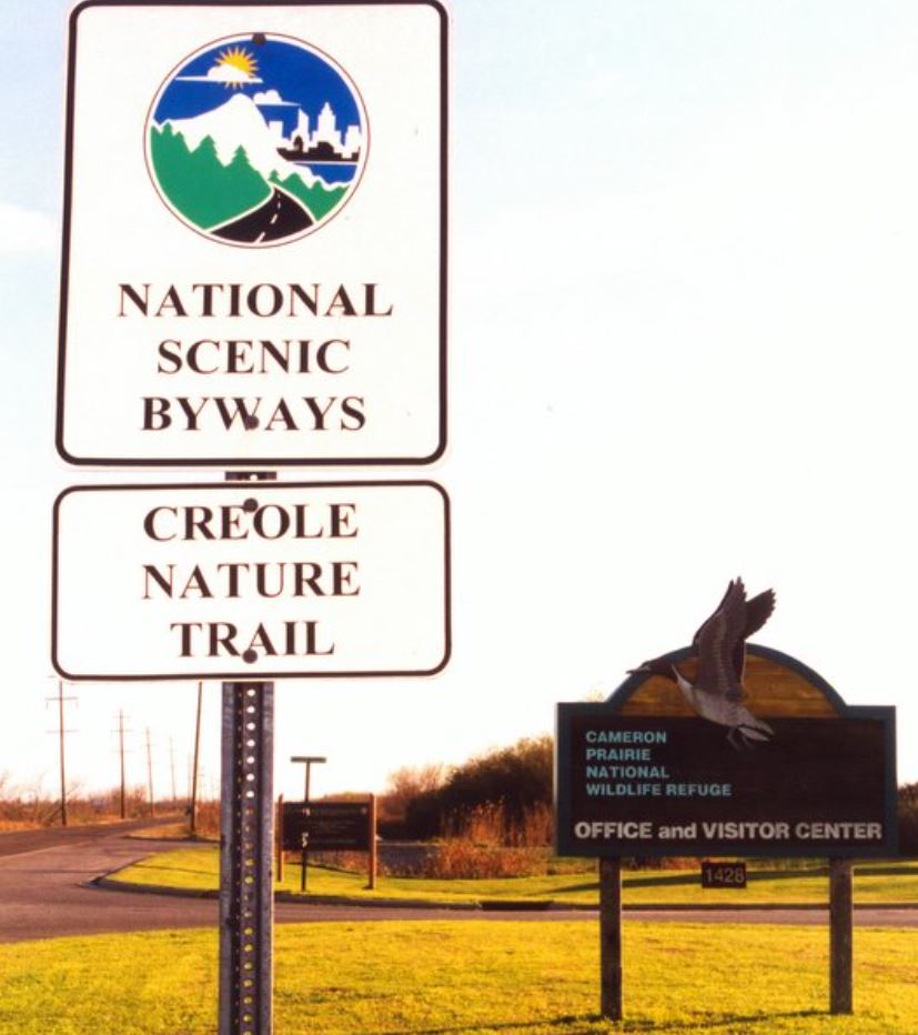
Roughly 180 miles of marsh, bayou, and Gulf shoreline form this wildlife-heavy loop near Lake Charles. Boardwalks and roadside canals often host alligators, egrets, and roseate spoonbills. Winter brings migrating waterfowl by the tens of thousands, and summer delivers warm breezes over 26 miles of natural beaches. Bring binoculars and bug spray, then plan fuel and snacks before rural stretches. After storms, some segments may close for repairs, so check local updates. Pull off only where signed to protect fragile habitat.
4. High Road to Taos Scenic Byway – New Mexico
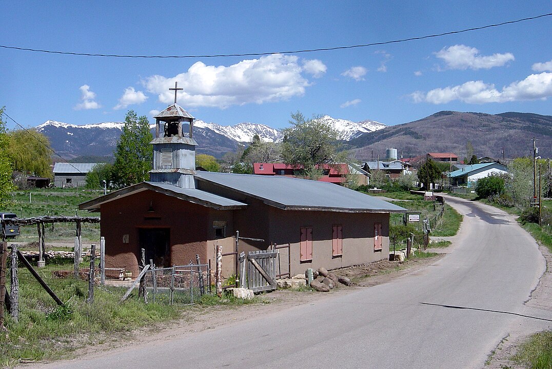
Linking Santa Fe to Taos in about 56 miles, the High Road climbs through villages like Chimayó, Truchas, and Las Trampas. Adobe churches date to the 1700s and early 1800s, and artisans sell weaving, woodcarving, and tinwork along the route. Views jump from the piñon hills to the Truchas Peaks over 13,000 feet. It is slower than the river route yet richer in history. Stop at a horno bakery, then continue to a high overlook for sunset on snow-capped Sangre de Cristo summits.
5. Sky Island Scenic Byway – Arizona

Also called the Mount Lemmon Highway, this 27-mile climb near Tucson rises from the saguaro desert to cool pine forest in under an hour. Elevation gains over 6,000 feet bring a dramatic temperature drop, often 20 degrees or more on summer afternoons. Pullouts interpret geology, plants, and wildlife as the landscape shifts through life zones. In winter, the upper sections can see snow and occasionally require chains. At the top, small cafes and trails offer an easy reset before you descend to the Sonoran night.
6. Cascade Lakes Scenic Byway – Oregon
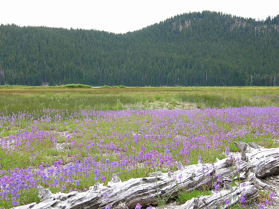
A 66 mile loop from Bend strings together a chain of volcanic lakes under the Three Sisters and Mount Bachelor. Paddle calm water at Sparks Lake, then walk lava flows at nearby viewpoints. Summer roads open once snow retreats, usually late spring into fall. Afternoon winds can ripple the surface, so morning paddles are best. Campgrounds and day use sites dot the route, though weekends fill fast. Keep an eye out for bald eagles, and pack layers since alpine air cools quickly after sunset.
7. Copper Country Trail National Byway – Michigan

In the Upper Peninsula, this byway follows about 47 miles of US 41 from Houghton to Copper Harbor. Mine ruins, stamp mills, and 19th-century streets tell the story of the nation’s early copper boom. Detour up Brockway Mountain Drive for sweeping Lake Superior views and spring raptor migration. Fall color peaks late September into early October. Small harbors sell smoked fish, and shoreline trails lead to wave-polished rocks. Winters are harsh and deep with lake effect snow, so plan seasonal visits.
8. Loess Hills National Scenic Byway – Iowa

Formed by windblown silt after the last ice age, the Loess Hills rise in unique ridges along the Missouri River. The byway spans roughly 220 miles with scenic spurs. Loess deposits can reach more than 200 feet thick, a rare landscape outside China’s Loess Plateau. Prairie remnants host summer wildflowers and monarch migration in early fall. Gravel loops climb sharp hogbacks, so check vehicle clearance and weather. Small preserves offer short hikes to knife-edge views that feel far from cornfields.
9. Cherokee Foothills Scenic Highway – South Carolina

State Highway 11 runs about 118 miles along the Blue Ridge foothills, connecting waterfalls, orchards, and Revolutionary War sites. Table Rock and Caesars Head state parks anchor the biggest views with trails and overlook pullouts. Spring brings mountain laurel blooms and cool creek hikes, while late summer delivers ripe peaches at roadside stands. The road stays lower than the high parkway routes, which means fewer closures in winter. Look for historic bridges and mill ruins tucked just off the pavement.