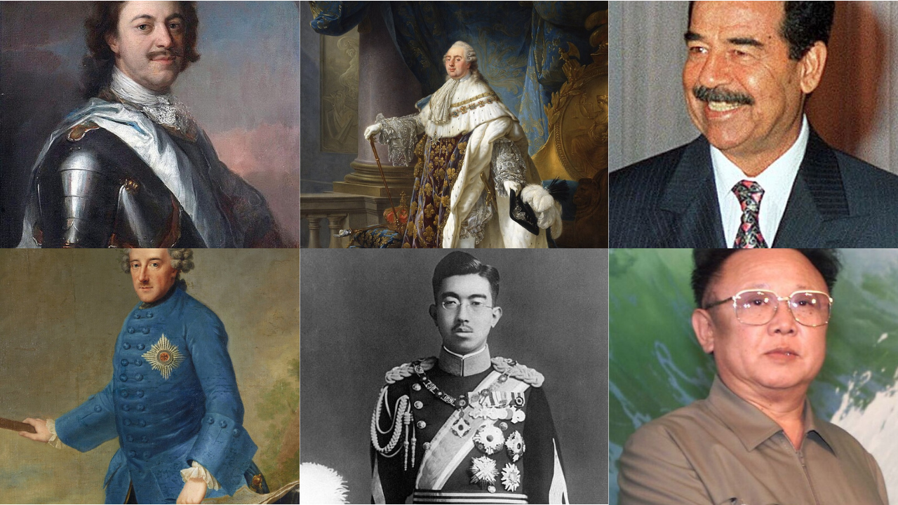
Modern maps look permanent, yet many lines rest on old paperwork, river crossings, and garrisons that came before passports. Empires drew tax zones and court circuits that later hardened into frontiers. Some folded after wars, others faded into mandates, but each left habits that outlasted flags. Follow these realms across steppe, delta, forest, and coast, and today’s shapes come into focus. Languages shifted, religions mixed, roads kept their course. Power moved on, and the cartography stayed stubborn.
Ottoman Empire
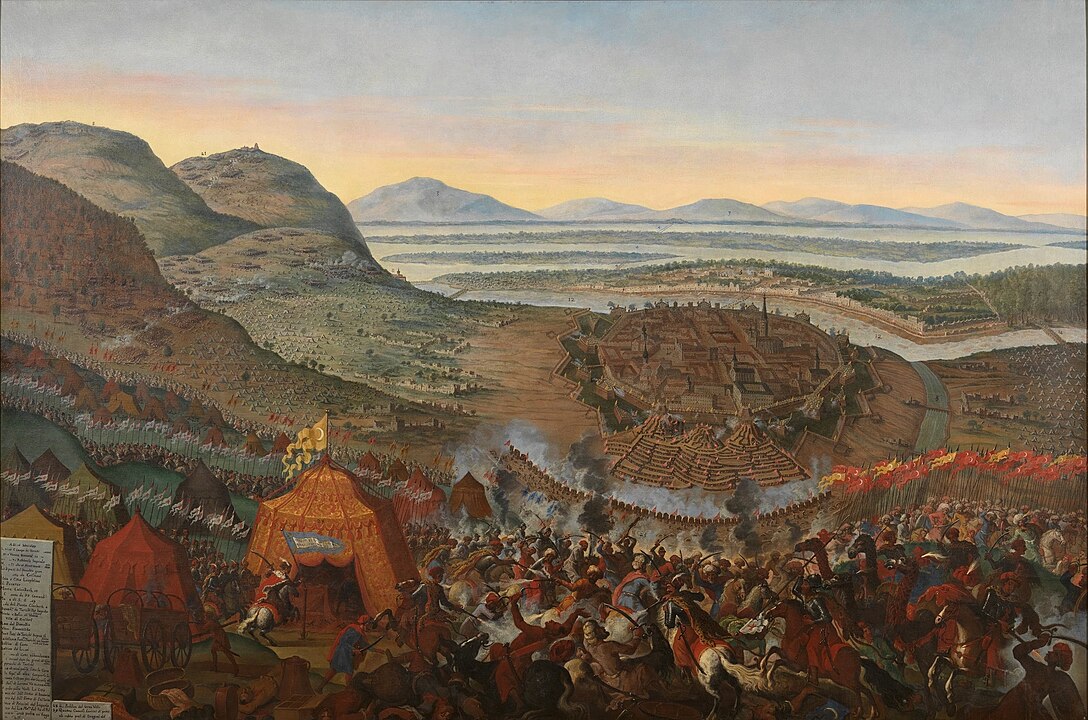
For six centuries the Ottomans linked the Balkans, Anatolia, and Arab provinces under one administrative canopy. Provinces followed valleys, caravan routes, and ports, and the millet system mapped communities that often matched geography. When the empire collapsed, mandates and treaties lifted those seams into borders that frame Turkey, Syria, Iraq, Jordan, and parts of the Balkans. Even now, district names, market towns, and pilgrim roads nudge politics, and straits, mountains, and rivers still act as the real gates.
Austro Hungarian Empire
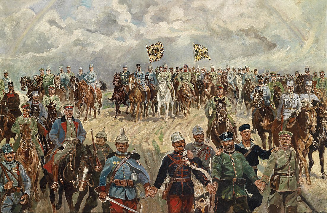
Austro Hungarian rule stitched Central Europe with railways, cadastral surveys, and crownlands that respected watersheds and passes. When it fell in 1918, negotiators leaned on those files to shape Austria, Hungary, Czechia, Slovakia, and slices of Poland, Romania, and the former Yugoslavia. Postal routes became corridors. Census lines foretold minority pockets that still vote as clusters. Alpine valleys, the Danube basin, and the Carpathian arc remained the skeleton, and borders settled along its ribs.
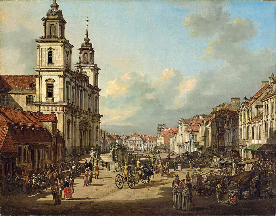
Polish Lithuanian Commonwealth
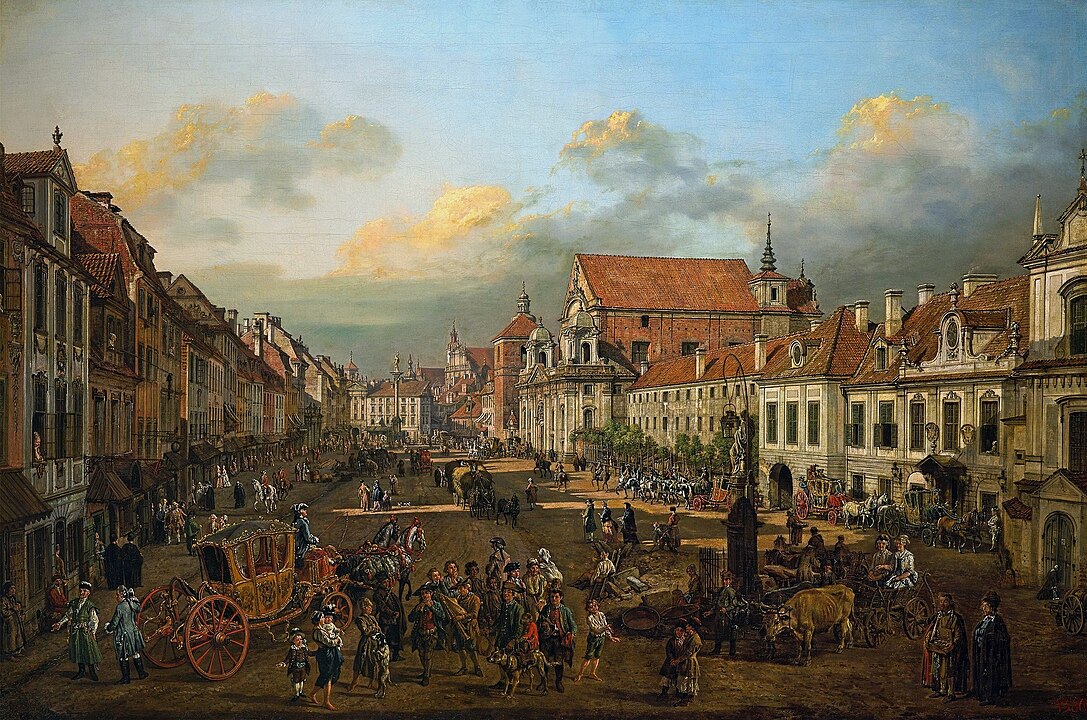
This elective union stretched from the Baltic to near the Black Sea, a patchwork of voivodeships, towns with charters, and shared courts. The partitions erased the state, yet its legal grids and parish networks left a template for Poland, Lithuania, Belarus, and Ukraine. Galicia, Volhynia, and Podlasie kept their old names, and roads that moved grain and timber still define regional ties. Today’s frontier bends around those legacies, where estates and synagogues once outlined everyday life.
Safavid Empire
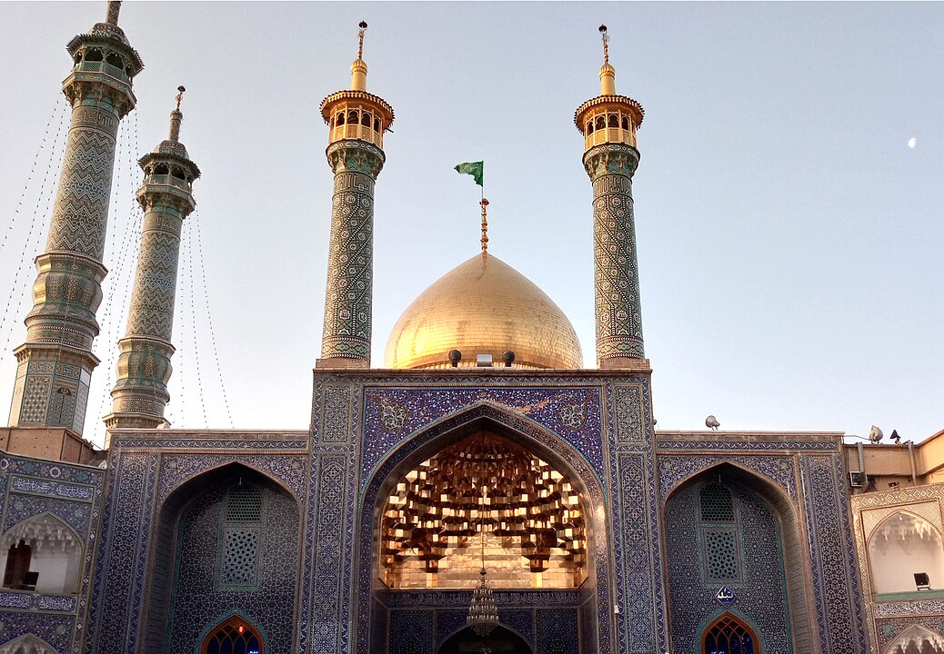
The Safavids made a Shia Iranian core in the sixteenth century and held it against Ottoman, Uzbek, and Mughal rivals. Treaties like Zuhab stabilized the Zagros as a practical divide, and later agreements with Russia fixed the Caucasus in painful detail. Caravan towns tied the plateau to the Gulf and the Caspian, creating an inland frame that modern Iran still wears. Shrines, bazaars, and fort towns now sit on national frontiers, but their loyalties were set much earlier.
Qing Empire
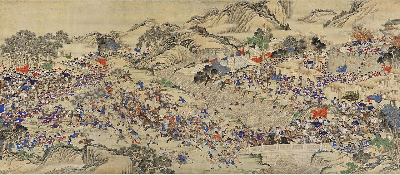
The Qing court expanded from Manchuria into Inner Asia, absorbing Mongolia, Tibet, and Xinjiang while bargaining with Russia and Central Asian khanates. Forts, banners, and tribute routes pressed authority across grassland, desert, and plateau. The perimeter that emerged is close to the map inherited by the republic, the People’s Republic, and independent Mongolia. Lines drawn by envoys on chilly frontiers still run along mountain crests and river sources that few people see, yet many must heed.
Spanish Empire
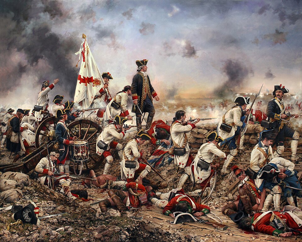
Viceroyalties in the Americas were bureaucratic inventions that became countries. Audiencias and intendancies set capitals, courts, and customs houses, and independence leaders often kept those frames. The split between New Granada, Peru, and Rio de la Plata still peeks through in Colombia, Peru, Bolivia, Argentina, and neighbors. In the Caribbean, captaincies and fortified ports carved jurisdictions that feel natural centuries later. Silver roads and missionary trails became federal highways.
Portuguese Empire
Portugal turned treaties into territory, first with Tordesillas on paper, then with bandeirante expeditions and the Treaty of Madrid that followed rivers and settlement. The result is Brazil’s continental reach, a frontier held by watershed logic and farms rather than forts alone. Along the Angolan and Mozambican coasts, forts and concessions hardened into later borders. The language belt that runs across three continents is a cultural border as legible as any fence.
Sokoto Caliphate
In the nineteenth century Sokoto united Hausa city states and Fulani domains into a wide caliphate pinned by markets, Quranic schools, and pastoral routes. British rule governed through emirs, converting fluid spheres into mapped provinces. Northern Nigeria’s outlines, and pieces of Niger and Cameroon, mirror that lattice. Cattle corridors, dry season camps, and Friday towns still steer politics and trade. Even modern state capitals echo older emirate seats where authority long gathered.
Zulu Kingdom
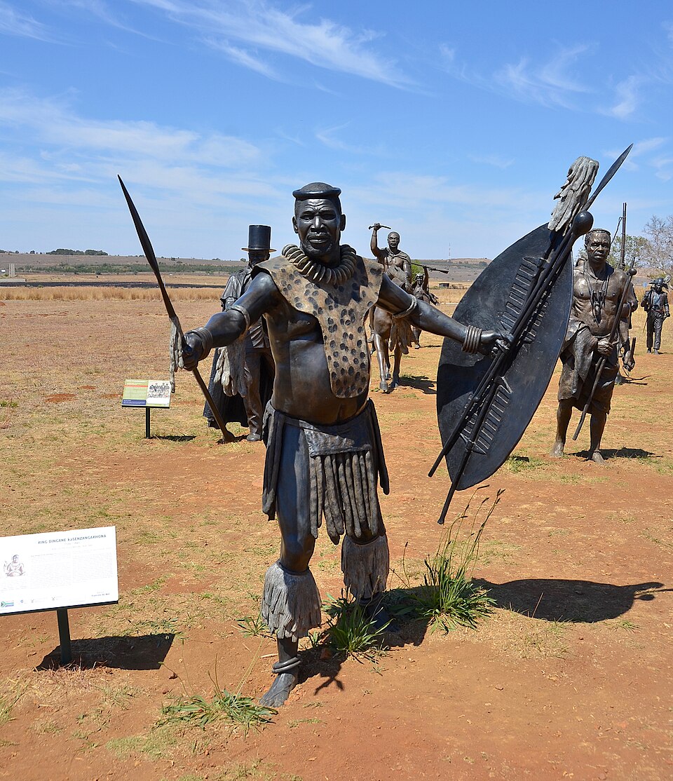
Shaka’s reforms forged a disciplined state that reshaped southern Africa through alliance, conquest, and flight. The upheaval redrew settlement across the region, and later British and South African authorities carved provinces along ridges, rivers, and mission stations that featured in Zulu campaigns. KwaZulu Natal is a political and cultural core that remembers those lines. Districts, heritage sites, and reserve edges still map the nineteenth century push and pull between hilltop forts and valleys.